
Government · Decarbonisation
Hunter Region mapping
An interactive mapping tool for the Department of Regional NSW, showing the Hunter Region’s businesses by industry and size.
- Place
- Hunter Region, NSW
- Client
- Department of Regional NSW
- Sector
- Government · Decarbonisation
01The question
Where are the region’s businesses, and what could decarbonisation mean for them?
02What Macroplan did
- GIS database
- Interactive web mapping
- 01Built a GIS database of the region’s businesses, zoning, investment, business property and major projects.
- 02Developed an online, interactive GIS web map showing key statistics for every dataset.
- 03Added data extraction, selection, query, proximity and drawing tools, and map exports for reports.
03The project
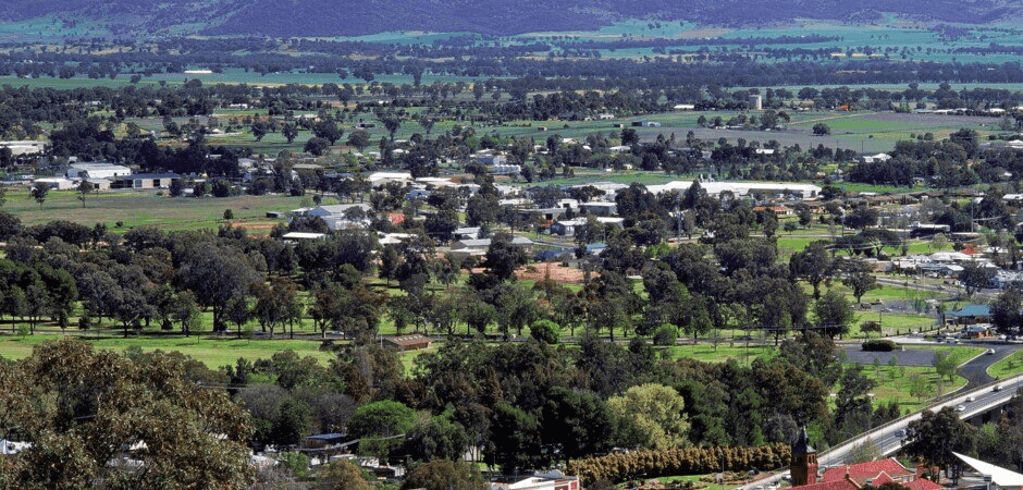
The Department of Regional NSW engaged Macroplan to create an interactive mapping tool identifying business enterprises in the Hunter Region by industry type and employment size, to assist government and industry decision making about decarbonisation.
Macroplan developed a comprehensive GIS database drawing on:
- The Australian Business Register (ABR)
- Planning and zoning
- Business investment data
- Business properties for sale and for lease
- Major business parks, precincts and mining
- Employment lands
- Major investment projects identified by Infrastructure Australia and Transport NSW
This information became an online, interactive GIS web mapping tool that displays key statistics for every dataset.
The tool allows data extraction to KML and XLS, data selection, advanced queries, proximity and drawing tools, and exporting maps for reporting.
Source: macroplan.com.au (opens in a new tab) “Department of Regional New South Wales (DRNSW Mapping)”, read 13 October 2026.
 Greater Darwin activity centresHow much retail floorspace will a growing region need, and where?Read the project
  Leppington Town CentreWhich development scenarios stay viable under Council’s contributions schemes?2 large mixed-use developments testedRead the project
  Waurn PondsWhat planning pathway would let one large property support a mix of uses?6 potential uses analysedRead the project